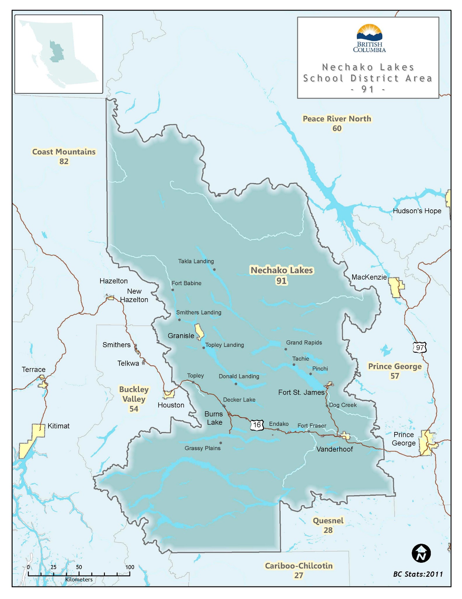
About District » District Map – Nechako Lakes

District Map – Nechako Lakes

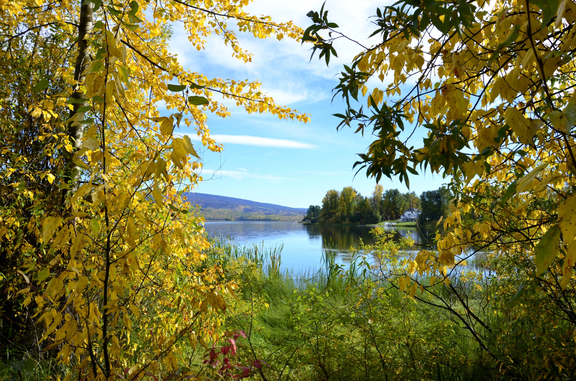
Our District covers more than 70,000 square kilometers in North-central British Columbia. This part of the Province has an abundance of beautiful lakes, rivers, forests and mountains. Agriculture, Forestry, Mining, and Tourism provide the economic base for the region.


Did you know that School District No. 91 (Nechako Lakes). . .

  • has an enrollment of approximately 4,100 students
  • is the largest single employer in the region; employing over 700 people, including roughly 270 teachers and a support staff of 340+; including bus drivers, custodians, clerical staff, teaching assistants and noon hour supervisors.
  • has facilities that include 16 educational sites. These sites constitute the single largest collection of square footage in the region.
  • is one of the largest owners of municipal land in the area.
  • provides programs for learners from K to 12, including the oldest online (EBUS Academy) school in BC.
  • is on the leading edge of technology in providing support to students, teachers and parents.
  • hounored to serve 14 First Nations communities.
  • manages nearly a $65 million budget.
  • is striving to develop this region’s most precious resource; our learners.